How the city moves, level by level
On foot
The historic centre has no through roads. Walking is not one option among several; it is the only way to move through the alleys, and every visit is mostly on foot.
- Principe to De Ferrari
- about twenty minutes along Via Balbi and Via Cairoli
- De Ferrari to the Porto Antico
- about ten minutes downhill through the alleys
- De Ferrari to Brignole
- about fifteen minutes along Via XX Settembre
Shoes with grip: the lanes are paved in stone and slate, worn smooth, and often wet in the shade.
The metro
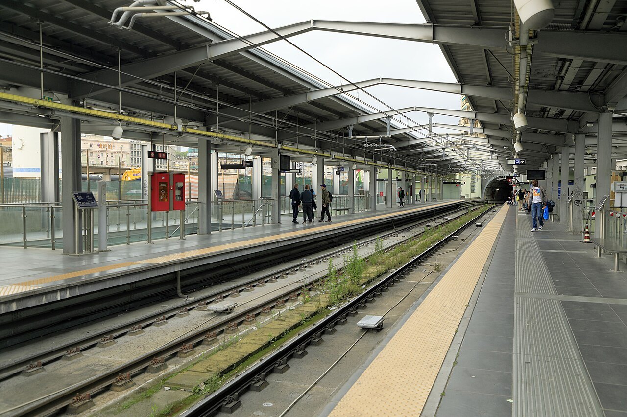
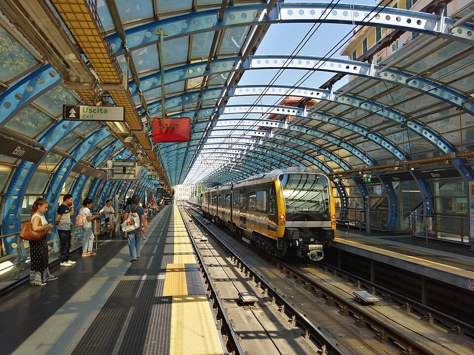
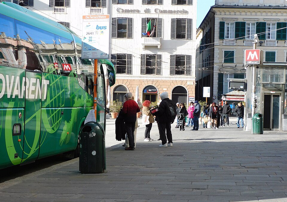
A single line runs from Brin in the western valley to Brignole, under the old town, calling at both main stations, the old port and Piazza De Ferrari.
- Principe to Brignole
- four minutes
- San Giorgio
- the stop for the aquarium and the old port
- Darsena
- the stop for the sea museum
Trains run every few minutes through the day; the line is short, shallow and easy to use.
Lifts and funiculars
Because the city climbs, part of the public transport network goes vertically: ten public lifts, two funiculars and a rack railway, all on the ordinary urban ticket.
- Ascensore Castelletto
- Piazza del Portello to the Spianata terrace
- Zecca–Righi funicular
- Largo della Zecca to the Righi, with five stops between
- Principe–Granarolo rack railway
- from behind Principe station up the western hill
- Sant'Anna funicular
- Piazza Portello to Corso Magenta
These are commuter machines used by residents with shopping bags, not rides; treat them as buses that go up.
Buses
AMT runs the buses, and they are the way to reach the hills, the eastern shore and the valleys. Routes wind, and the map repays study before you need it.
- Corso Italia and Boccadasse
- from the Foce and Brignole
- Staglieno
- up the Bisagno valley from the centre
- Righi
- an alternative to the funicular
Buy tickets before boarding, from tobacconists, machines or the app, and validate on entry.
Getting Around in detail
Walking the old town
The centro storico is among the largest medieval quarters in Europe and it is a maze in the exact sense: lanes two metres wide, blind turnings, stairs, and sudden small squares. Nothing wheeled goes through most of it.
That is the pleasure and the problem. Distances are short — the whole old town is about a kilometre across — but you will not walk in a straight line, and you will get lost, which is the correct way to see it.
Two rules make it manageable. First, the ground always falls toward the sea, so downhill leads to the port and uphill to the newer city. Second, three wide streets cut the maze: Via San Lorenzo, Via Garibaldi above it and Via Balbi to the west.
Keep to the busier lanes after dark, particularly west of Via San Luca and around Via Prè, and the old town is no more difficult than any city centre. It is a lived-in quarter, not a monument.
Street numbering is its own subject. Genoa numbers commercial premises in red and homes in black, in separate sequences on the same street, so number twelve red and number twelve black are different doors. Addresses here usually say which.
The lanes are cool in summer, because the buildings are high and close and the sun reaches the ground for minutes a day. In winter the same fact makes them dark by mid-afternoon.
Up and down
Genoa's answer to its hills is public and municipal: lifts inside the rock, funiculars through tunnels, and a rack railway. They belong to the transport network, run to a timetable, and cost the price of a bus ticket.
The most useful for visitors is the Castelletto lift, which rises from Piazza del Portello to the terrace over the old town. The Zecca–Righi funicular goes much higher, to the walls on the ridge.
Others are worth riding simply as machines: the Principe–Granarolo rack railway, a two-carriage line climbing a residential hill, and the Sant'Anna funicular, which has been running since the eighteen-nineties on the same steep alignment.
If a lift is out of service, there is always a stair. That is what the salite are, and the walk up is a real one — assume ten minutes of steps for every lift you miss.
The lifts are also the quickest way between two points that look far apart on a map. From the old town to the Circonvallazione a Monte, the boulevard along the hillside, is two minutes vertically and twenty-five on foot around.
Most run from early morning until late evening, with a reduced service on Sundays; timetables are posted at the lower stations.
Tickets
One urban ticket covers buses, the metro, the funiculars, the public lifts and the rack railway, with a time limit from validation; day and multi-day tickets are sold as well, and there is an app.
Buy before you board: tobacconists, newspaper kiosks and machines at the stations sell them, and drivers generally do not. Validate on entry — inspections happen, and the fine is not something to argue about.
Regional trains along the coast, to Nervi or Pegli, are covered by the same integrated arrangement within the city boundary; the machine will sell you the right thing if you name the station.
Children under a certain height travel free and there are family day tickets; the ticket machines have an English option and take cards.
Keep the ticket until you leave the system. On the metro, validation is at the barriers; on the lifts and funiculars it is at a machine on the platform or inside the cabin.
Taxis, bikes and scooters
Taxis are white, metered and found at ranks rather than hailed; there are ranks at both stations, at Piazza De Ferrari and at the ferry terminal.
Cycling is for the confident. The city is steep, the traffic is heavy on the through roads, and there are few separated lanes, though the seafront at Corso Italia is flat and pleasant.
Shared scooters are everywhere and are banned from the alleys of the old town, which is as it should be; the lanes are too narrow and too crowded.
Fares to the airport and the cruise terminal are often set as flat rates; ask at the rank before setting off, and expect a surcharge for luggage or late hours.
Boats
Small passenger boats cross the harbour and run east along the coast in season, and the harbour tour from the old port is the easiest way to see the city from the water.
The tour boats leave from the quay in front of the aquarium and take about three quarters of an hour, passing the container terminals, the dry docks and the Lanterna.
It is worth doing early in a visit. From the water the logic of the place — a port with a city stacked behind it — is obvious in a way it never is from the streets.
In summer, boats also run east along the coast to the Riviera villages and, in the other direction, west to Pegli and Arenzano — a pleasant way to reach a beach without the train.
What not to do
Do not try to drive into the old town. The lanes are impassable, the restricted-traffic zone is enforced by camera, and a hire car is a burden from the moment you arrive — see getting here.
Do not plan a day that crosses the city several times. Genoa is thirty kilometres long and the centre is dense; group what you do by area, and use the metro for the two or three longer hops.
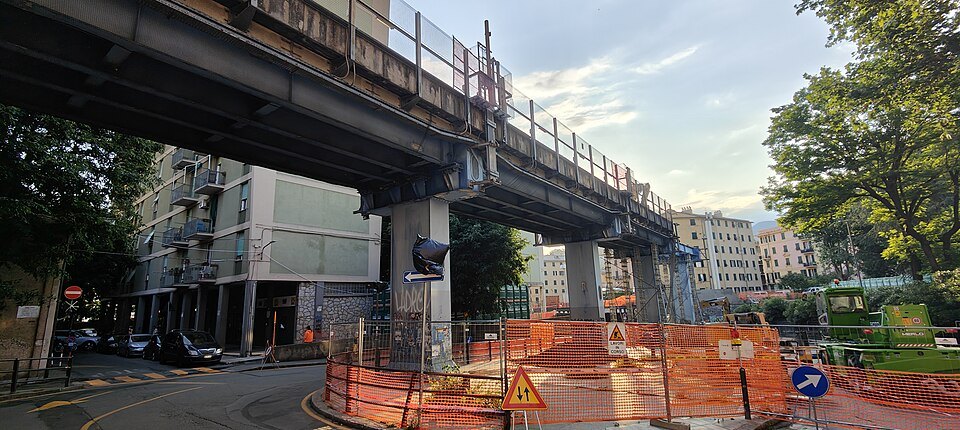
Do not assume a map's straight line is walkable. Between two points on the same street there may be a hill, a viaduct and a flight of a hundred steps.
Services we link to
Some links on this page are affiliate links. If you book through one we may earn a commission, at no extra cost to you. It does not affect what is recommended here, and no sight page on this site carries one.
Between a morning arrival and an afternoon check-in:
More photographs
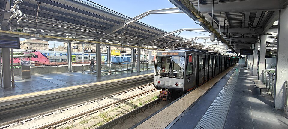
A metro train at the platform in Brignole stationAl*from*Lig, Wikimedia Commons, CC BY-SA 4.0 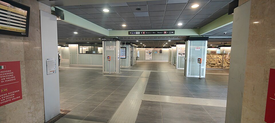
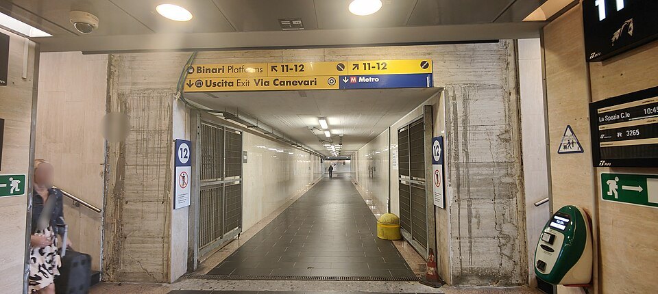
The ticket hall of Brignole metro stationAl*from*Lig, Wikimedia Commons, CC BY-SA 4.0