The Righi Funicular and the Forts
- IThe Zecca–Righi funicularTwo lines of the eighteen-nineties, joined into one, climbing through tunnel and open air
- IIThe intermediate stationsStops at Carbonara, San Nicola, Madonnetta, San Simone and Preve, serving hillside streets
- IIIThe Mura NuoveThe New Walls, begun in 1626 and among the longest city walls in Europe
- IVForte SperoneThe great arrowhead fort at the apex of the walls, open to walk into
- VForte Begato and CastellaccioTwo more forts along the ridge, reached on foot by the wall path
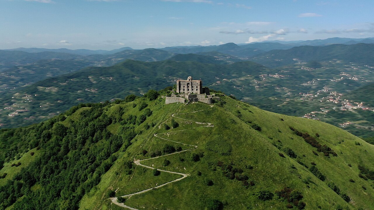
- VIForte DiamanteThe furthest and finest, an hour and a half's walk out along the ridge
The sight in detail
Why it matters
Genoa defended itself by taking the high ground. In 1626, after a Savoyard army had come close, the republic began the Mura Nuove — the New Walls — which run for kilometres along the ridge behind the city, and then studded the hills beyond with detached forts.
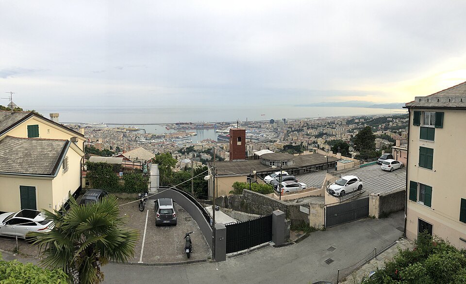
It is one of the largest surviving systems of its kind in Europe, and almost none of it is fenced off. You can walk the wall, go into the forts, and look down on the whole city, the port and the sea from the parapet.
The funicular is what makes it a half-day rather than an expedition. It leaves from Largo della Zecca, at the edge of the old town, and lifts you to the Righi in a few minutes, where the ridge walk begins.
The walls also settled the city's shape. Everything inside them became dense and built up; everything outside stayed farmland or fort until the nineteenth century. Looking down from the ramparts, the line between the two is still legible in the roofs.
The funicular
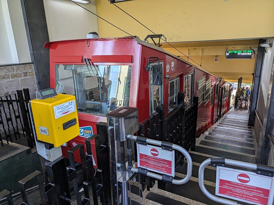
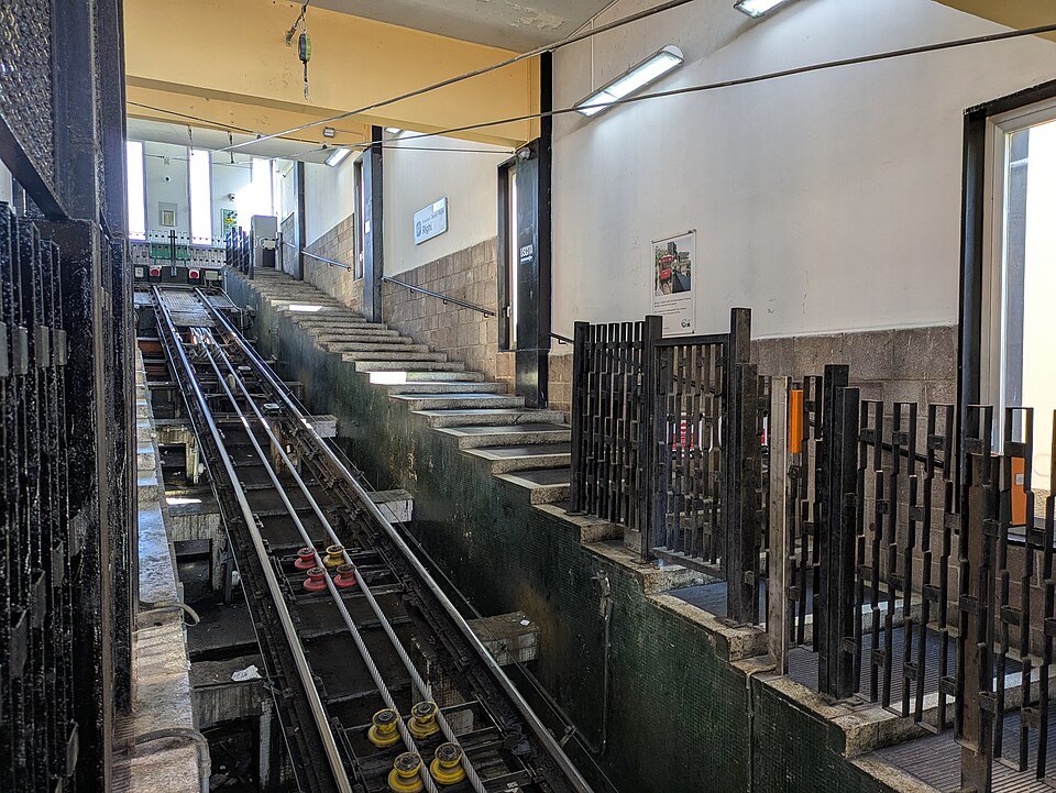
Two separate lines were built first: the upper section opened in 1895, running in the open with intermediate stations, and the lower section in 1897, entirely in tunnel. Between 1963 and 1965 they were rebuilt as a single line with a passing loop at San Nicola, which is how it works today.
It is a public service, not a tourist attraction: the same urban ticket as the buses, cabins every quarter of an hour or so, and hillside neighbourhoods served by the intermediate stops. At Righi the station opens onto a small terrace with a restaurant and a view over the city.
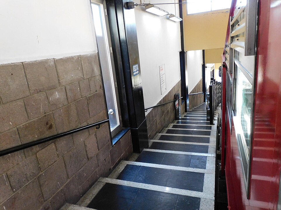
The ride itself is worth the fare. From the tunnel the line comes out into the open and climbs steeply between garden walls and apartment blocks, with the roofs falling away below.
The lower station is at Largo della Zecca, a two-minute walk from Piazza della Nunziata and the top of Via Balbi, which makes it easy to fit into a morning that began at the royal palace.
Cabins are small and fill at the ends of the working day, when the line is doing its real job of carrying people home to the hillside quarters. Mid-morning and mid-afternoon it is usually near empty.
The walls and the forts
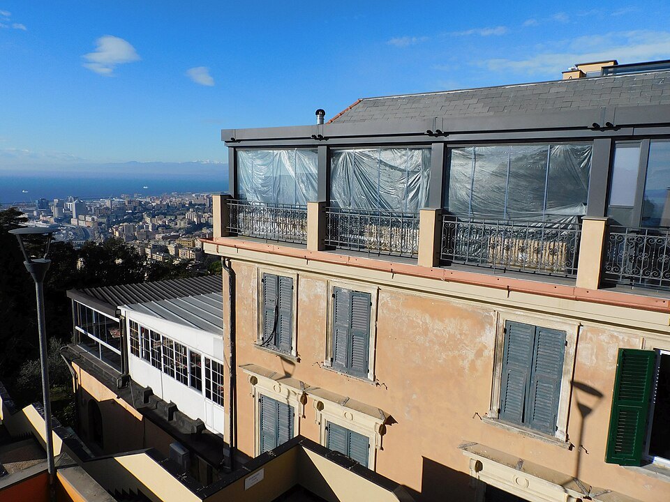
From Righi a path follows the line of the walls uphill. The Mura Nuove are stone ramparts with bastions, ditches and gates, and in places the path runs along the top of them with the city on one side and the valleys behind on the other.
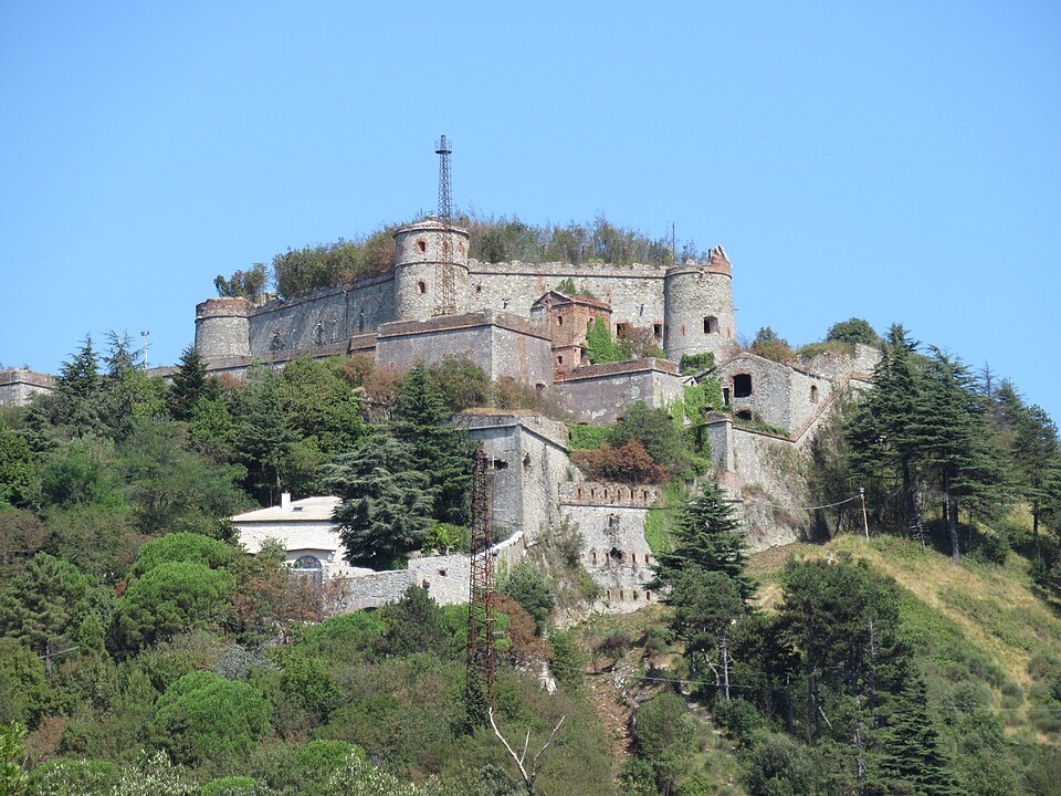
Forte Sperone stands at the apex, where two arms of the wall meet — a huge arrowhead of masonry with vaulted galleries, courtyards and gun positions. It is used for concerts and events in summer and can be walked into at other times.
Beyond it the ridge continues to Forte Begato and, off to one side, Forte Castellaccio with its Torre Specola. Further out, an hour and a half on foot from Righi, Forte Diamante sits alone on a peak above the valleys, the most complete and most photographed of them all.
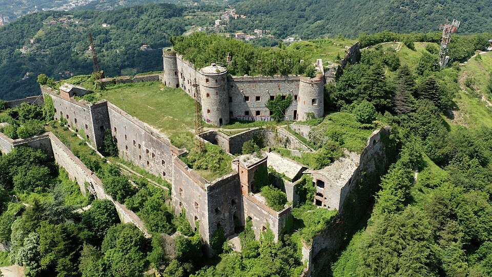
The whole area is a park, the Parco delle Mura, and it is used by Genoese for running, walking and dog-walking rather than by visitors. Paths are marked, and the ground is rough in places.
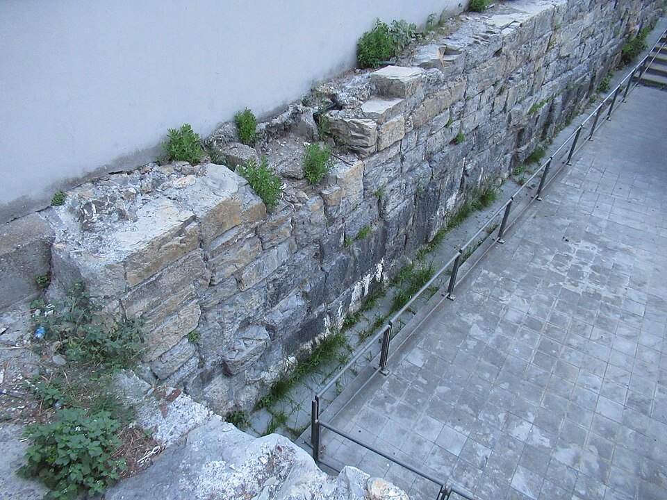
The masonry repays attention. The Mura Nuove were built in the seventeenth century for artillery, so the walls are low, thick and angled rather than tall, with sloping faces designed to throw off cannon shot, and the forts along them were rebuilt and extended by the Savoy government in the nineteenth century.
How to visit
Half a day: the funicular up, Sperone and the wall, and a walk or ride back down. A full day if you go out to Diamante.
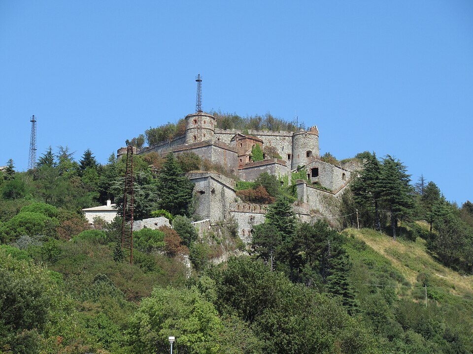
Take water, and shoes with grip. There is no shade on the ridge, and the wind that makes the city comfortable in summer is stronger up here.
Buses run to Righi and Granarolo as an alternative to the funicular. Another rack railway, the Principe–Granarolo line, climbs a neighbouring hill and is a small pleasure of its own — see getting around.
The walk from Righi to Sperone takes about twenty minutes and climbs steadily; from Sperone to Begato is another twenty on a track along the ridge. Both are signposted from the funicular station.
Honest notes
The forts are unstaffed ruins, not museums. Some have open vaults, unguarded drops and graffiti; go in daylight and do not climb on the walls.
The view from Righi is superb but the immediate surroundings are ordinary: a car park, a restaurant, a bus turning circle.
If you only have time for one high place, Castelletto is closer and looks over the old town; the Righi looks over the whole city and its hills.
Where to go next
- NEXT DOORSpianata di CastellettoThe terrace where a fortress once stood, reached by a wooden-panelled public lift from the street below, with the whole old town, its domes and the port laid out under the railing.Read the page
- NEXT DOORStaglieno CemeteryOne of Europe's great monumental cemeteries: a square kilometre of colonnades, a domed pantheon and hundreds of marble figures in which a merchant class had itself carved as it wished to be seen.Read the page
- NEXT DOORPorta Soprana and Columbus's HouseTwin towers of 1155 that guarded the road in from the east, restored a century ago, with the house tradition gives to Columbus's family and a re-erected cloister at their feet.Read the page